Colorado Trail: Waterton Canyon to Durango
The trail is wet by the first morning. Not wet like there was rain last night — wet like the ground has been saturated for weeks and has stopped pretending otherwise. By the end of August 2022, this was the condition of most of the Colorado Trail’s northern sections: lush past the point of novelty, streams running hard, afternoon lightning arriving earlier each day.
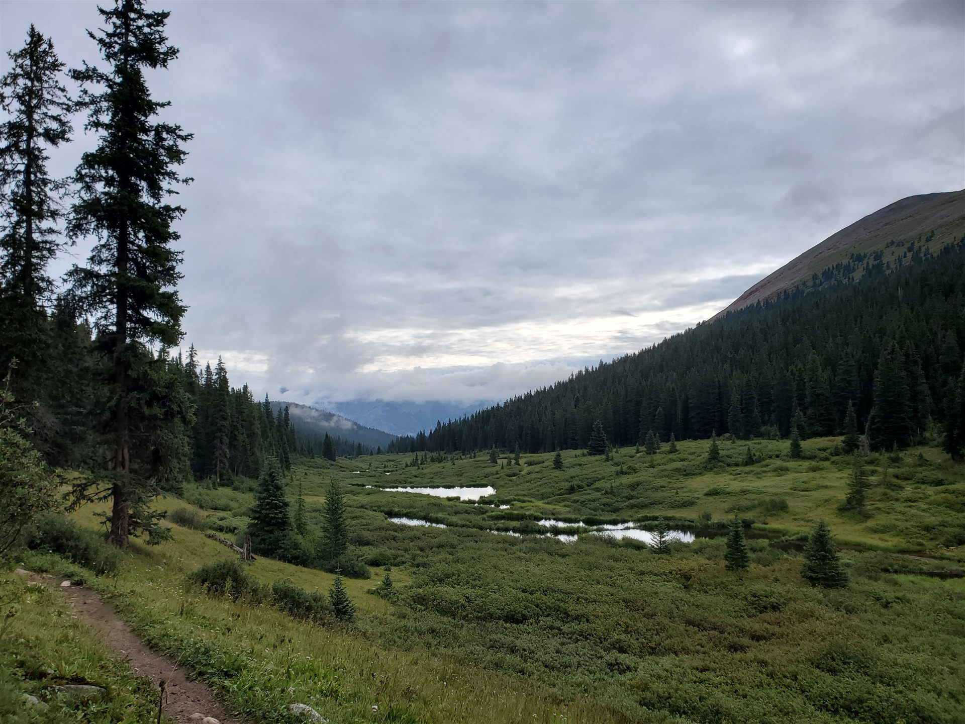
I’d just finished two years as a research assistant at the Federal Reserve Bank in Cleveland. A clean ending, a good run. My high school friend and I had been loosely planning a long trail for a while, and this felt like the right window. We flew into Denver on August 20th, drove to the Waterton Canyon trailhead the next morning, and started walking south.
The Colorado Trail covers 486 miles, roughly 89,000 feet of cumulative elevation gain, and crosses eight wilderness areas. The average elevation is around 10,000 feet. In a wet year it adds a ninth unofficial feature: mud that functions as suction.
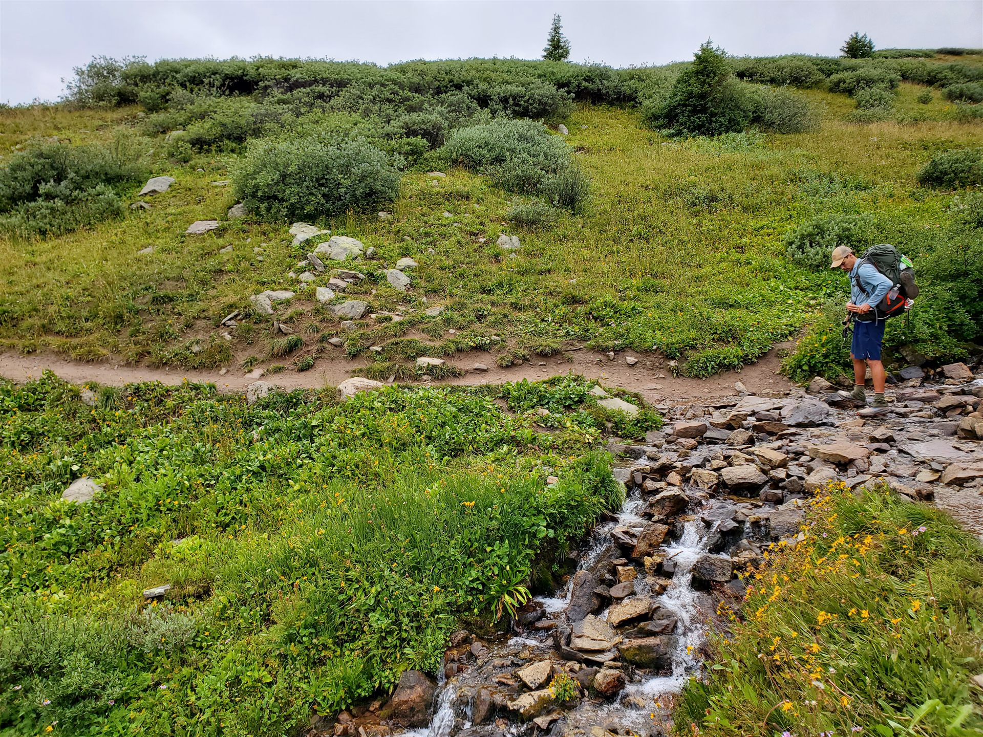
We were doing about 19 miles a day, which at elevation is sustainable but leaves limited room for error. The first week — Waterton Canyon through the South Platte drainage, into the Kenosha and Georgia Pass sections — we were mostly just getting our legs and learning how early to break camp to beat the afternoon lightning. The answer turned out to be: earlier than you think, and also it doesn’t always matter.
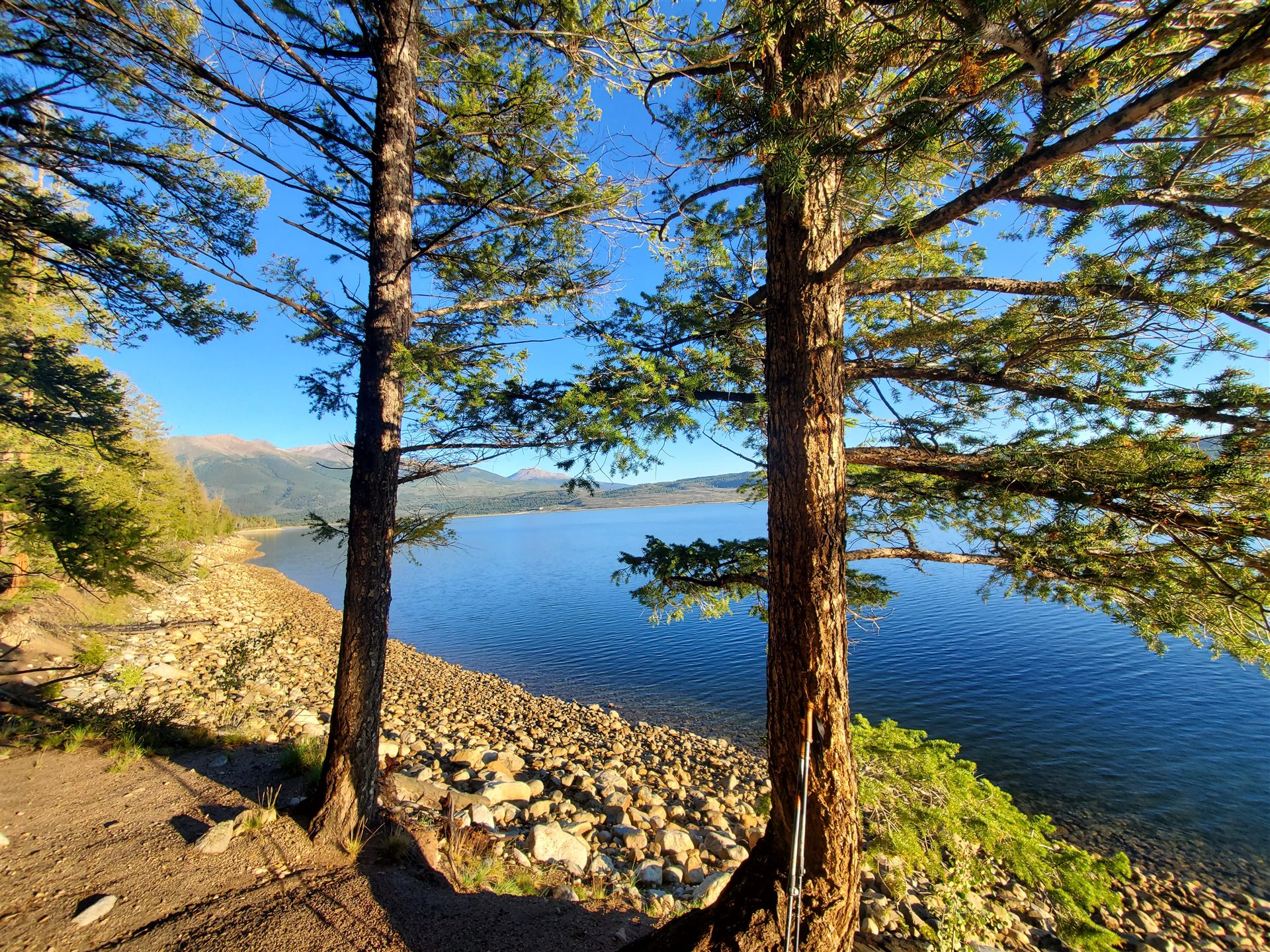
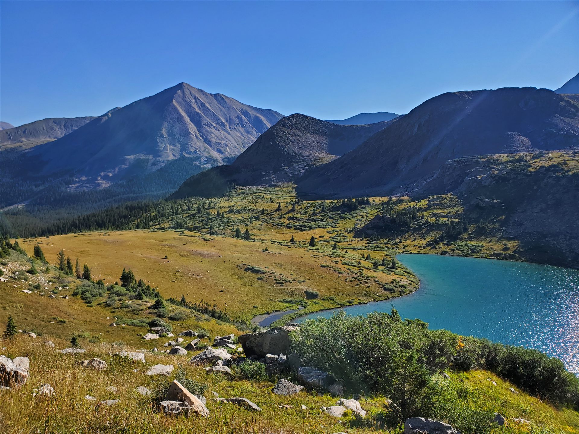
The Collegiate Peaks and the stretch near Leadville were the middle of the first week going well. The trail was well-marked and the terrain was what you’d call sustained — not dramatic, just relentless climbing and descending at altitude. We were carrying around 3,200 calories a day. That sounds like a lot. It is not a lot.
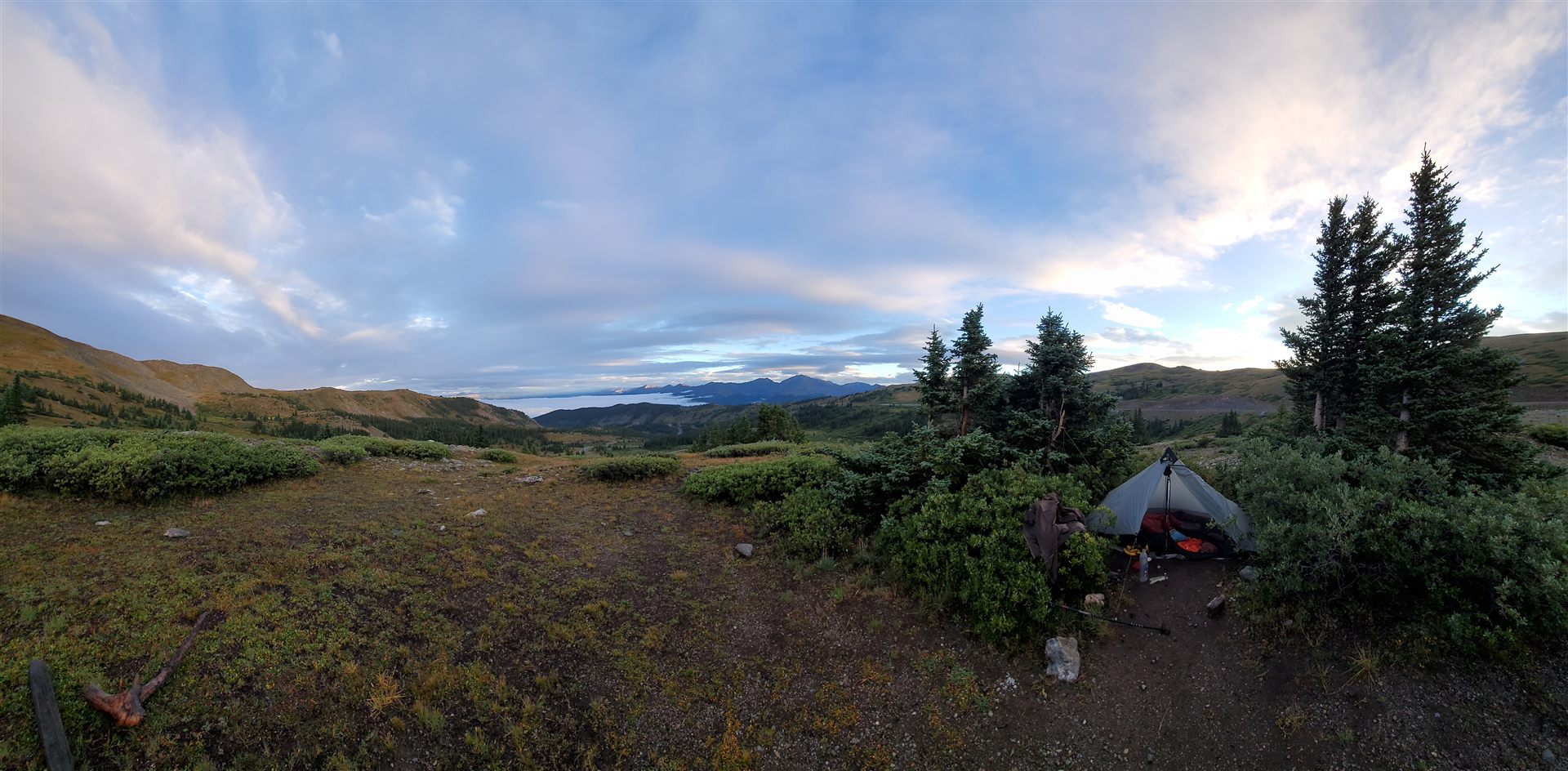
The weather pattern was consistent: clear through about 11am, building cumulus by noon, lightning by early afternoon, clearing by 4 or 5pm. On a good day, you got a spectacular sunset out of it.
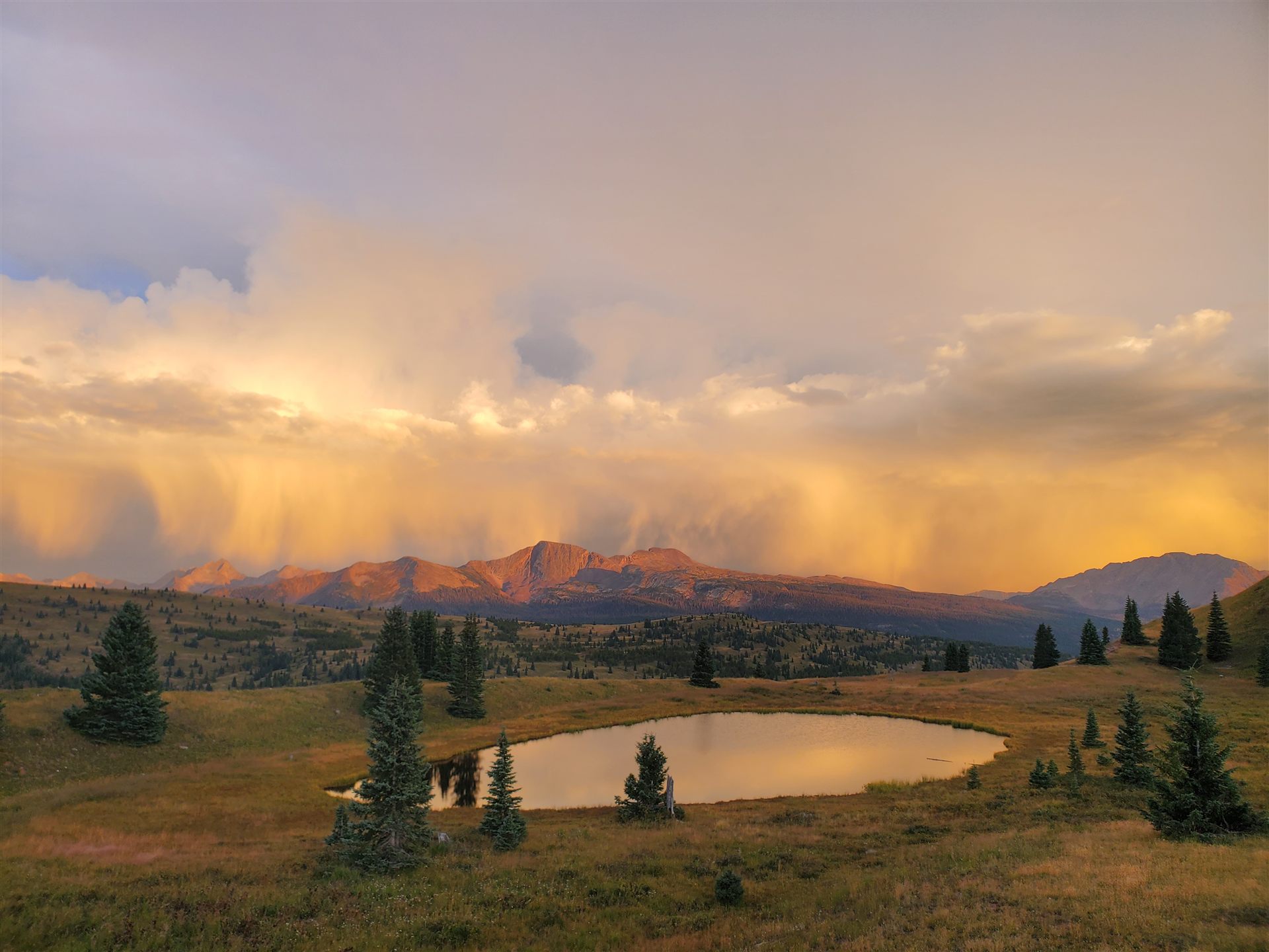
On a bad day, you were still moving through it at 2pm on an exposed ridge, which is its own education in the physics of open terrain. We got rained on for 4–5 consecutive days at least twice. The section through the Weminuche Wilderness — the largest wilderness in Colorado and the last major one before Durango — had stretches where the tread had turned to six inches of mud. You walked through it.
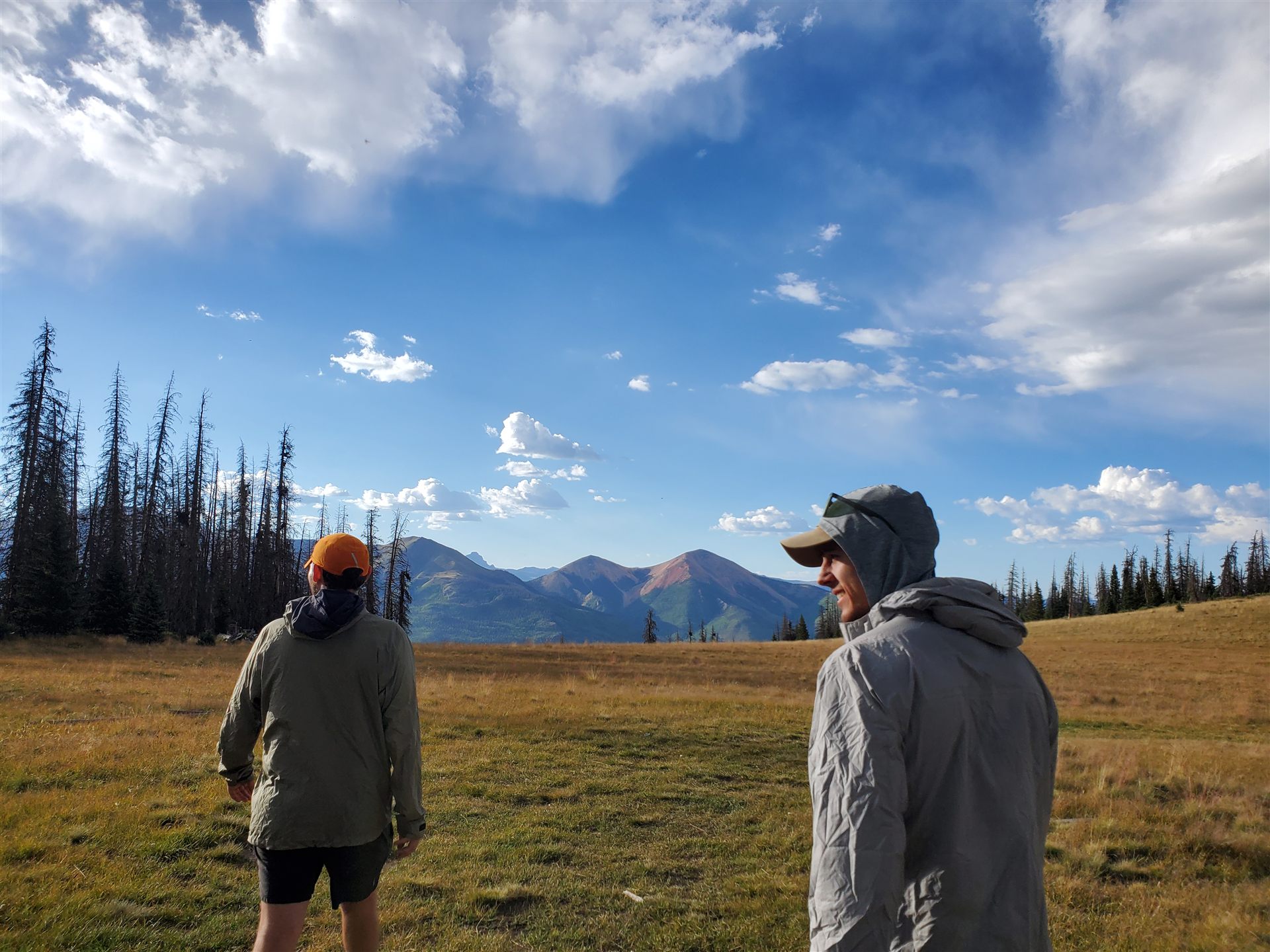
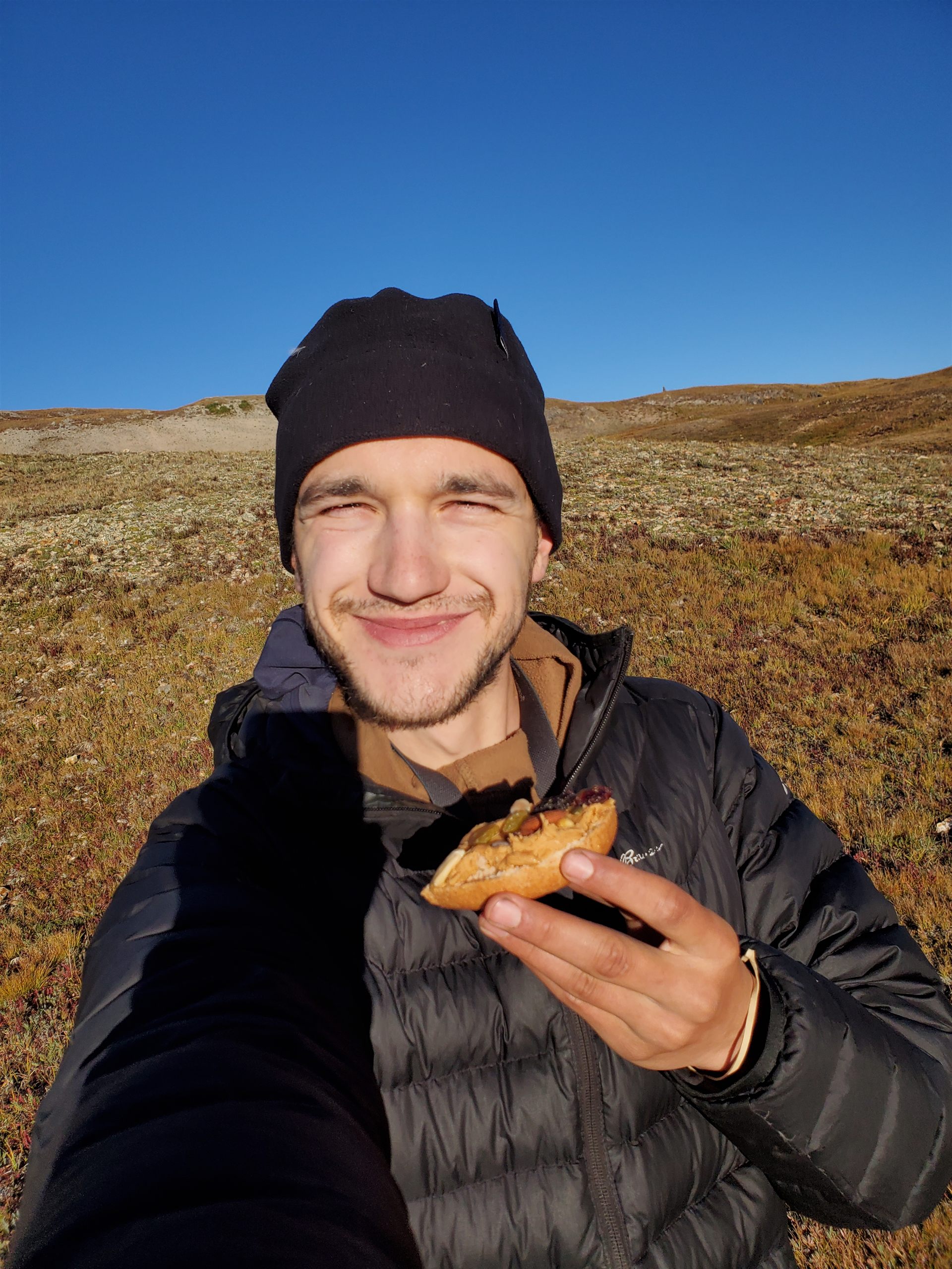
The food situation deserves its own entry in the debrief. Most ultralight thru-hike planning optimizes for calories-per-ounce: olive oil packets, nut butter, freeze-dried meals with names like “Mountain House Chicken & Rice” that suggest a relationship with chicken and rice that the product cannot substantiate. We were eating this, more or less, for most of 26 days.
By week three I was hungry in a way that had moved past urgency into something quieter and more constant. Not dangerous. Just present at all times, like a background process that never terminates.
The resupply towns on the southern half — Lake City, Silverton, and the road crossings near Creede — each got a longer visit than we planned. This is typical and also rational. The San Juans are the best terrain on the trail and they come at you when your food motivation is highest.
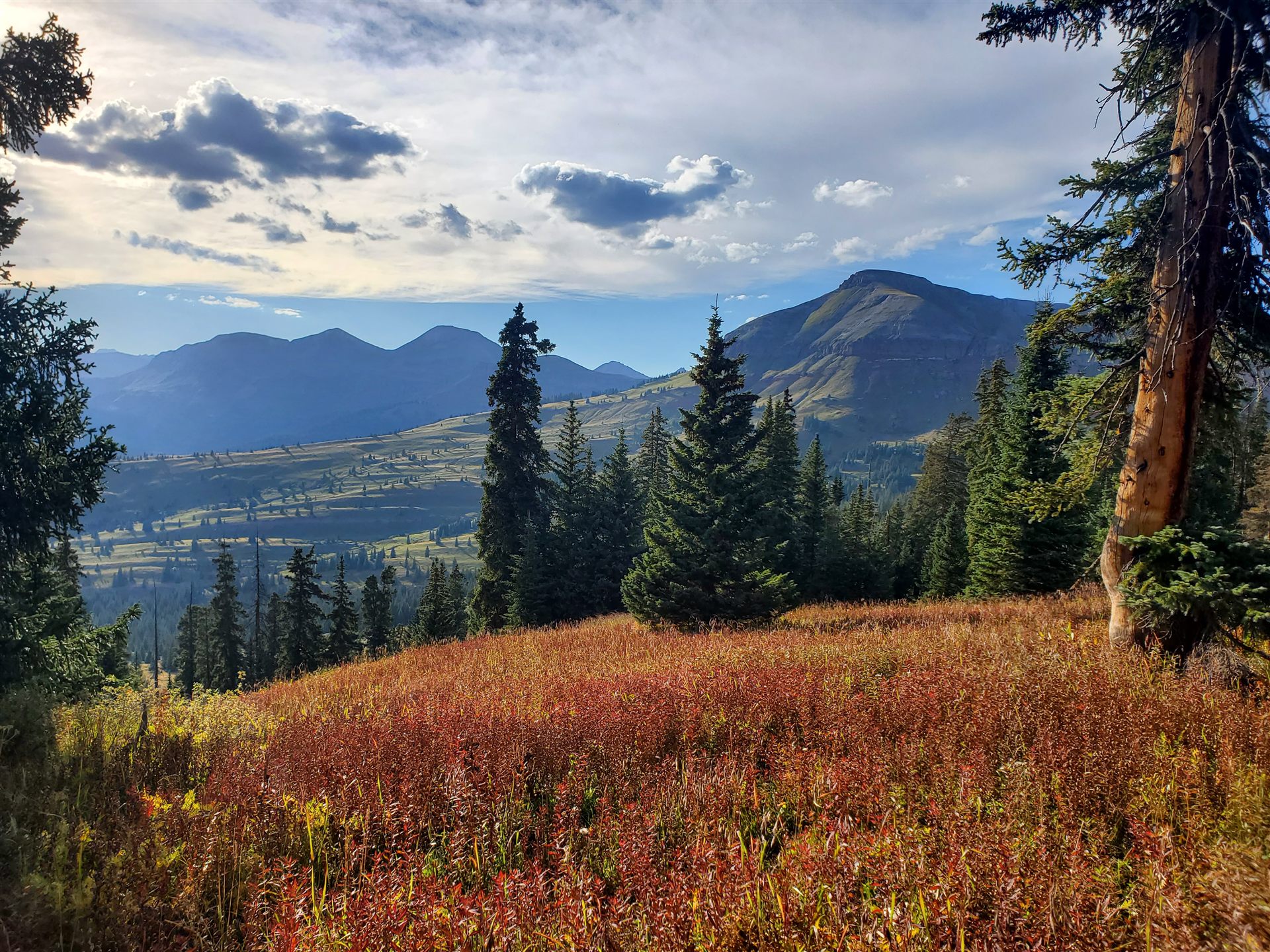
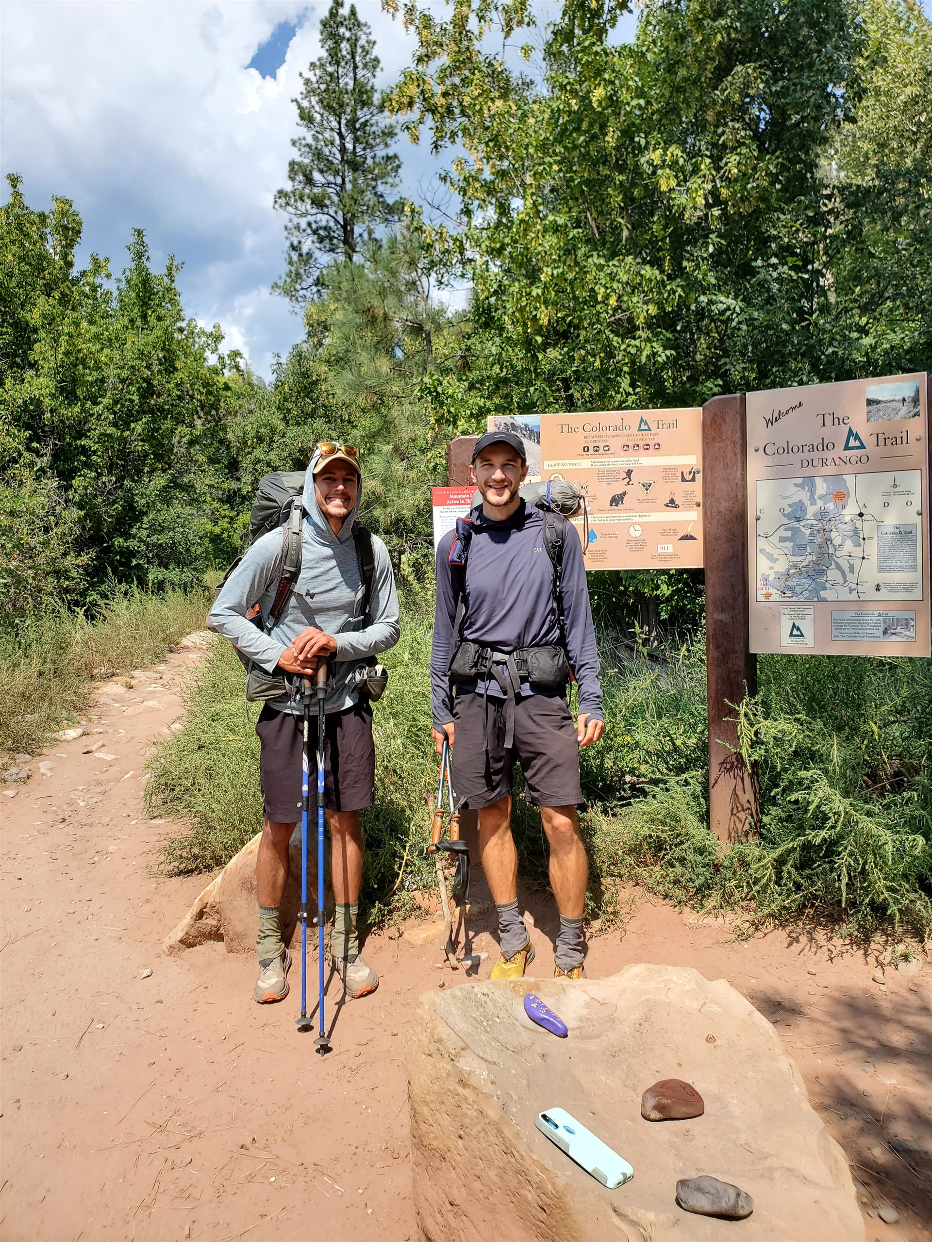
The last segment into Durango follows Junction Creek down out of the San Juans. The terrain eases, the trees get bigger, and eventually you walk into town still carrying everything you’ve carried for 26 days except for about 14 pounds of body mass. We finished in mid-September. The terminal sign is modest. You take the photo, drive to wherever is nearest, and eat until the situation resolves.
The Colorado Trail is a well-constructed route through genuinely excellent terrain. In a wet year, it is the same route, wetter, with more impressive weather. I’d do it again. I would bring more food, and I would go in knowing that August in the Colorado high country is monsoon season, which is not a problem so much as a condition.
I’ve concluded that I like hiking. The qualifier is that I like it most when it includes food at regular, predictable intervals. This turns out to be a preference shared by most mammals, and it’s one I intend to plan around more deliberately going forward.